Saturday, September 28, 2013

Road Trip 2013: Moab to Fort Collins

Thursday, 9/26:  427 miles and camped in the driveway of Stan and Betsy Johnston,
Fort Collins, Colorado.

Moab to Fort Collins
Stan and Betsy Johnston's driveway in Fort Collins, Colorado
We got an early start, leaving the Moab campground by 6:30.  It was still dark, and we got to see the sunrise over the eastern horizon.


Getting to Fort Collins means having to drive over the Continental Divide in the Rocky Mountains.  Technically, we drove under the Continental Divide by going through the Eisenhower Tunnel on Interstate 70 at 11,158 feet above sea level.  The tunnel is one of the highest vehicular tunnels in the world.  Literally, from the tunnel at 11,158, it is all downhill to Gouverneur at 447 feet above sea level.

Interstate 70 winding through a narrow mountain canyon.
Aspen trees showing their golden Fall color.
Eisenhower Tunnel

We had a scheduled 2:30 tour of the New Belgium Brewery in Fort Collins.  We met up briefly with Tanya, Dave and Ann Wright's daughter.  Tanya works at New Belgium and lives in Fort Collins.  The New Belgium folks really know how to put on a great tour.  It lasted 90 minutes and includes lots of sampling.  The guides are very knowledgeable, and they make the tour fun and interesting.

New Belgium Brewery


We ended the day at Stan and Betsy's home for dinner and some really great conversation.  From Fort Collins, we are going to log four straight driving days to make it home by Monday night.........


Wednesday, September 25, 2013

Road Trip 2013: Wells, Nevada to Moab, Utah

9/24:  415 miles, and camped at Canyonlands Campground in Moab, Utah.

Wells, Nevada to Moab, Utah.

Site 77, Canyonlands Campground.
We left the campground in Wells about 7:30 in the morning.  As we crossed the state border into Utah, the time changes to the Mountain Time Zone, so we moved the clocks ahead an hour.  The sped limit on Interstate 80 across Utah is an unbelievable 80 miles per hour!! We didn't even try it.  In fact, not many vehicles were going that fast.  Maybe Utah is short on police, so they just raise the speed limit, and therefore don't have to issue speeding tickets.  :-))

80 speed limit sign.

As we approached St. Lake City, the Bonneville Salt Flats appeared.  The flats are a layer of densely pack salt pan, and is the site of many land speed records.  Interestingly, because of the salt mining that is occurring there, the flats now cover only 30,000 acres instead of the original 90,000 acres.


After leaving the flat landscape of the salt flats and Great Salt Lake, we crossed the Wasatch Mountains and headed south toward the red rock formations that make up Arches and Canyonlands National Parks.

Pass through the Wasatch Mountain Range.
Entering the red rock formations of Moab.

We walked main street Moab for a bit and did some shopping.  Then it was just a short 10 minute walk from the campground to the Moab Brewery for dinner.

Wednesday 9/25: Drove 131 miles today.  We left the campground early in morning and arrived at Arches National Park by 7:15.  Good thing, because by 11:00, the park was mobbed with cars, campers and tour buses.  I have been to Arches twice before, but I have never seen so much traffic.  I don't know why it was so busy.


Delicate Arch

Trail to Sand Dune Arch.

Sand Dune Arch
Hiking to Broken Arch.
Broken Arch
Balanced Rock
Parked at a viewpoint.
Moon still showing in the sky.
The Three Gossips formation
After lunch in the camper, we moved on to Canyonlands National Park.

Monitor and Merrimac formation.
Geen River Overlook.
Green River canyons.
Pothole depressions, with Monitor and Merrimac formations in the distance.

We ended the day back at the campground and grilled a steak for dinner.  Thursday we head for Fort Collins and a tour of the New Belgium Brewery.  We will spend the night with Stan and Betsy (Koch) Johnston.  Getting closer to home........................


Tuesday, September 24, 2013

Toad Trip 2013: Roseburg to Wells, Nevada

9/20 to 9/23:  682 miles over two days and camped along the way at:
Goose Lake State Park, on the Oregon - California border, Lakeview, Oregon
Angel Lake RV Park, Wells, Nevada

Well, its time to make the swing toward home.  My girlfriend, Judy, flew into Eugene, Oregon on Friday the 20th to meet and drive back to Gouverneur with me.  Coincidently, my sister in law and brother in law, Karen and Alfie Bigarel are traveling in the west also and we converged at Cory's house for a couple of days.  What a great time we had!!  We had planned to go to the coast to see the ocean and devour seafood.  However, heavy rain changed our plans, so we went wine tasting instead.


On Sunday Judy and I started the drive east by making a visit to Crater Lake National Park.  The weather gods were not working with us. At the crater rim, the temperature was 33 degrees, and the lake was completely fogged in.  We couldn't see anything.  What a bummer.  I have seen Crater Lake several times, but Judy never has.  Anyway, I have never experienced the fog at Crater Lake, so that was a first.  :-)

Fog!!!  There is supposed to be beautiful blue water there somewhere.

So, instead of touring some of the Crater Lake viewpoints, we headed east.  We drove through southeastern Oregon on Rt. 140, a beautiful two lane highway.  The High Desert region is start and stunning.  We saw thousands of beef cattle grazing in the valleys.

Cattle grazing in the Oregon High Desert.

We ended the day at Goose Lake State Park.

Monday, we continued our drive to the southeast, spending most of the day in Nevada.  We started the drive on Rt. 140 again and ended the day in Wells, Nevada on Interstate 80.

Goose Lake State Park to Wells, Nevada.

This drive was through total isolation and desert.  The region is often referred to as Cowboy Country.  As one website explained it, "One of the best things about Nevada’s Cowboy Country is that it is one of the few remaining places in the continental United States where a traveler can experience the sensation of being on a true frontier."  After driving it, we concur.  That is so true!!


Wild horses.


We ended the day at Angel Lake RV Park in Wells, Nevada.  Judy and I went out for dinner at Bellas Restaurant, based on the reviews from Tripadvisor.com.  We ordered their speciality, chicken fried steak.  Several reviewers suggested ordering just one serving and splitting it between two people since the portions were so large.  We did that, and it was a good thing.  We were both stuffed after consuming the "half" servings.

Tuesday, its on to Moab, Utah...................

Saturday, September 21, 2013

Road Trip 2013: North Umpqua Archaeological Dig

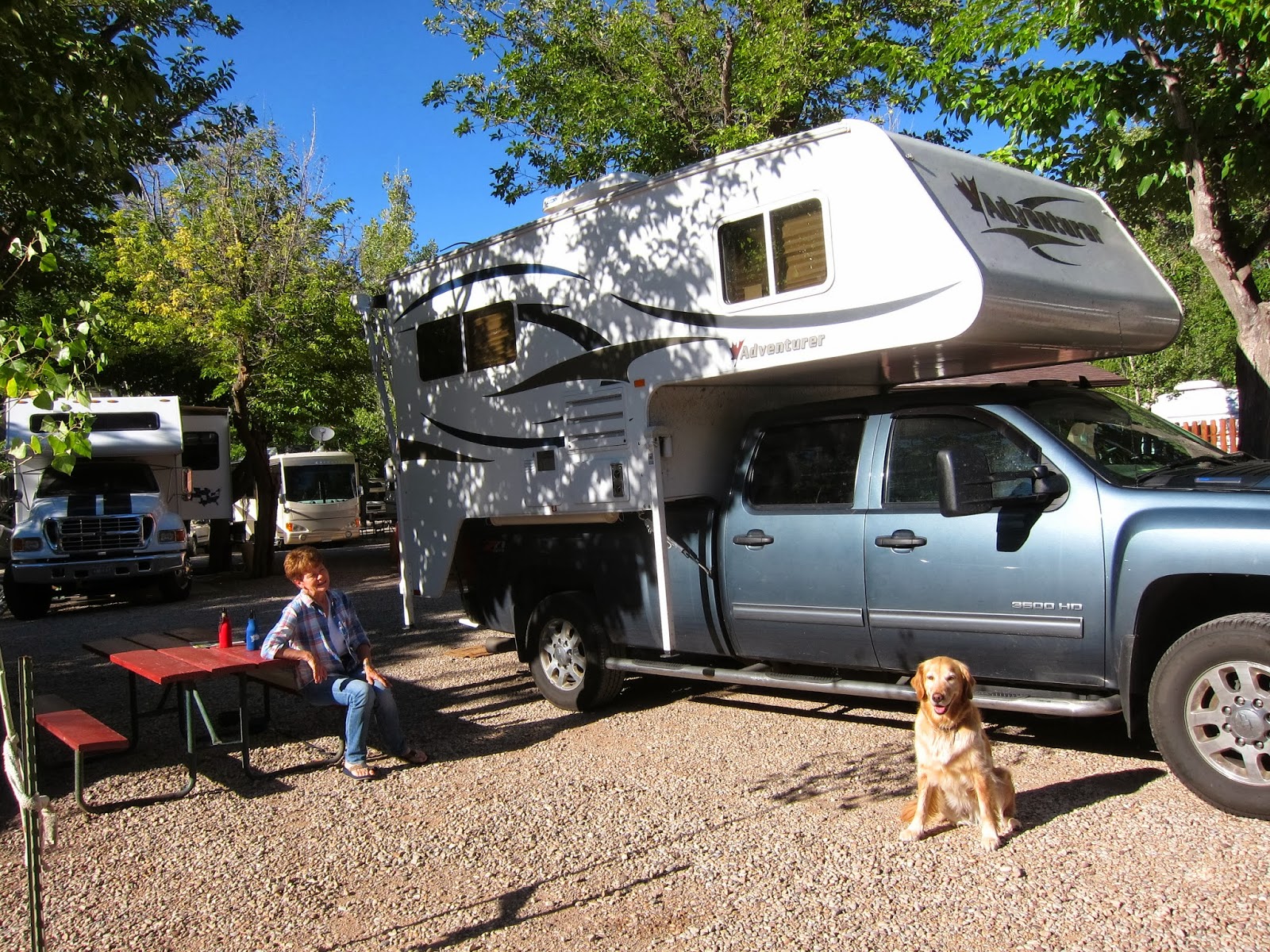
The week of 9/16 to 9/20, camped at the Susan Creek Campground on the North Umpqua River.

Susan Creak BLM Campground

Susan Creak BLM Campground

This week I participated in an archaeological dig for the first time ever, and boy, did I ever learn a lot!!

It all started last year when Cory's girlfriend Molly, who is an archaeologist for the Bureau of Land Management, told me she was organizing an archaeological excavation on BLM property, and would I be interested.  In July of this year she asked me to fill out the online application at the Passport in Time website.  Passport in Time, usually referred to as PIT, is a clearing house for interested people to volunteer to help on various archaeological, cultural, or historical projects from all across the United States.  Below is the project description from the Passport in Time website:

"The Umpqua National Forest and the BLM (Roseburg District) are working together to study early human occupations along the North Umpqua River, specifically those found at the Susan Creek site, designated "35DO383." Previous studies suggest the site contains multiple occupations. Further, data from carbon dating and other diagnostic techniques used on cultural components like charcoal, features such as hearths, and other elements such as projectile points, drills, and ground stone, correspond with dates spanning the entirety of the Archaic (Early, Middle, and Late Periods, ca. ~8,000 B.P. - European Contact).

During this PIT project, volunteers and FS and BLM staff will perform subsurface studies at site "35DO383." As we excavate, map, plot, photograph, and sketch, volunteers will learn proper techniques, and will learn how to correctly handle and document cultural finds. Some of the earliest known human occupations of the Umpqua Basin have been documented at this site and, through our study this year, we hope to get an even better understanding of human existence and its place in the overall landscape of the past along the North Umpqua River."

There were nine PIT volunteers, plus BLM and Forest Service personal working on the project.  So each day the entire working crew consisted of 15 to 20 people, plus Zoey.  :-)


"Look at the nice neat hole I dug, Dad!!"


The archaeology of this region is divided into two periods; either Pre-Mazama or Post-Mazama.  Mt. Mazama is the destroyed volcano in Oregon that erupted about 7,600 years ago.  The volcano's collapsed caldera holds Crater Lake.  The widespread ash deposits make a distinctive and identifiable layer in archaeological excavations.

Note the lighter color of the Pre-Mazama soil at the bottom of the pit.
Dr. Robert Musil, principal investigator, checking the floor elevation.

The dig was a two week project.  I participated the second week.  On the second day, Tuesday, we finally broke through the ash deposit and reached Pre-Mazama soil at about 160 centimeters (roughly 5 feet) below the surface.  The Pre-Mazama soil was severely compacted, and took forever to dig, pulverize and screen. However, we did find some very good 8,000 year old artifacts, including scraping tools, a broken spear point, left over flakes from tool making, and charcoal.  The charcoal can be radiocarbon dated to determine an absolute date.


The dig ended on Friday at a depth of 190 centimeters, which is about 75 inches.  We were still finding artifacts.  The plan is to cover the pit and continue to excavate next year.


This past week was a fascinating learning experience................